About water take
The department routinely estimates water taken during significant flow events, which includes water taken through floodplain harvesting. We do this to improve our:
- remote sensing capability and methodology
- floodplain harvesting model calibration
- understanding of floodplain harvesting and supplementary access water take behaviour.
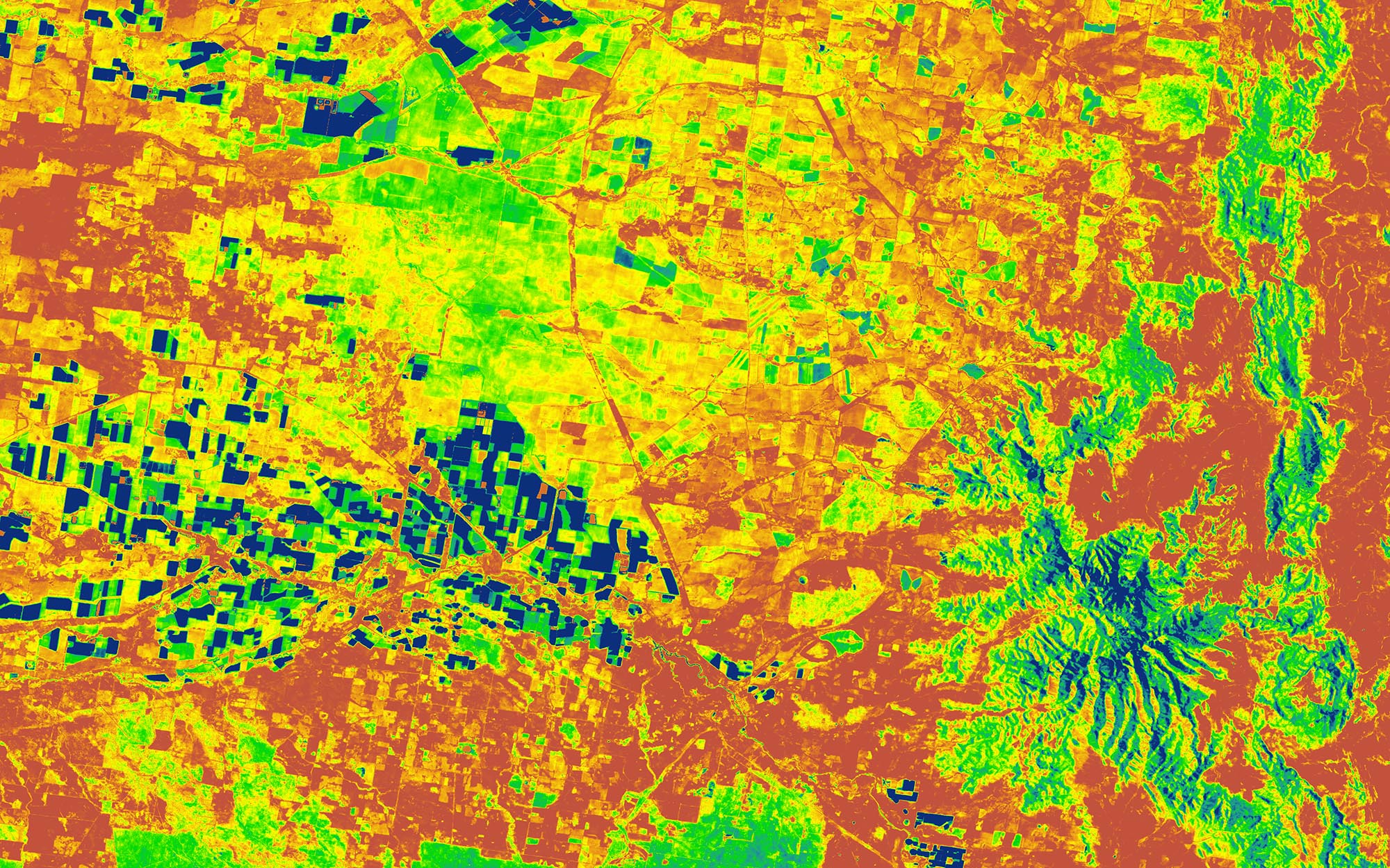
Our analysis uses remote sensing technology (satellite imagery) to observe the presence of water. In combination with storage curves, we can estimate volumes in large on-farm storages. These are dams mostly used to store floodplain harvesting and unregulated water take. They also store metered licensed take, including supplementary access water.
We compare the volume in storage before and after the event to estimate the total volume of water taken. We then compare the volume taken through a meter to the total take. This allows us to better understand the total volumes of stored water, floodplain harvesting and unregulated take.
Report
For a detailed methodology read our report on the Assessment of take and protection of first flush flows.
Download the report (.PDF 1496KB)While remote sensing is a valuable way of capturing data, it has limits as a means of measuring take. There is inherent uncertainty and scientific error in the methods and analysis which limit its use.
While this method is the best currently available, more accurate, real-time information will be available when floodplain harvesting is measured under our Floodplain Harvesting Measurement Policy 2020 (PDF, 2270.23 KB). This metering, measurement and telemetry will improve how we quantify unregulated and floodplain take and how we plan for and enforce water sharing.
Lessons from this assessment will inform the methods for future assessment, as well as future management of flows for critical needs
Learn more about floodplain harvesting.
 to maximum surface area (full)")
Figure 1. Images show the surface area of water in an on-farm storage changing from dry (empty) to maximum surface area (full)
In late February 2021, the Northern Valleys of the Murray Darling Basin received significant rainfall.
A potential floodplain harvesting event on the Gwydir floodplain began in December 2020.