The Hydrometric Gauging Stations Installations and Upgrades online consultation was open from 1 November 2022 to 31 December 2022, and has now closed.
What's this about?
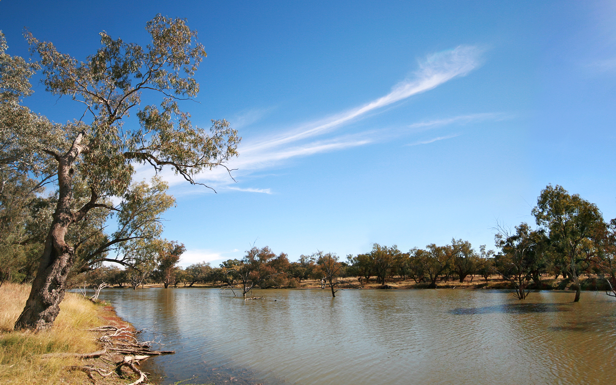
The department is seeking stakeholder input on the site locations of gauging stations in the Northern Murray Darling Basin.
We have identified new sites for installation listed in the Hydrometric Improvement Plan (HIP) (PDF, 1497.97 KB) that are guided by the Murray Darling Basin Network Review and assessed against key selection criteria.
For more detail on the review and the HIP list of identified sites visit the Hydrometric Network Review.
We now welcome all stakeholders to make submissions on new, relocated or improved hydrometric stations through this form for consideration. We are seeking your views on the identified sites as well as any other locations for new or improved monitoring.
While the primary purpose of this stakeholder consultation is to inform priorities for gauging stations in the Northern Murray Darling Basin, you can make suggestions for additional monitoring sites within other parts of NSW for future consideration in this form.
For NSW, the Northern Murray Darling Basin includes any stream that flows into the Darling River upstream of Menindee Lakes, see map on the Murray Darling Basin Authority’s website). Note that the Lower Darling and Lachlan are not part of the Northern Basin.
Flood warning in NSW is a shared responsibility across all levels of government. The department's Environment and Heritage Group is leading the implementation of a flood warning improvement program (supported by Commonwealth funding) that aims to improve flood warning in priority areas within the 62 local government areas (mostly in coastal areas) affected by the February – March 2022 flood events.
Project background
The project is supported through funding from the Australian Government’s Hydrometric Network and Remote Sensing (HNRS) program, part of the Enhanced Water Monitoring and Information Initiative.
More detail on the HNRS program is available on the Murray Darling Basin Authority’s website.
Site selection criteria
The department uses the HIP and the following criteria to select site locations.
Water sharing, delivery, and use
- operations (e.g. flow thresholds)
- active management (unregulated use and active environmental water management)
- compliance and enforcement
- accounting (trends, demand, accessibility, status and use of water)
- planning for our future resources and sharing water.
Environmental
- stream connectivity for ecological populations
- monitoring environmental assets
- evaluating water in the landscape and its associated outcomes.
Public information and transparency
- Once established, site data is made available to the public and may be used for any number of purposes (e.g. flood warning).