Water Engagement Roundup
The questions and answers from the Water Engagement Roundup webinar recorded on Wednesday 16 August 2023 are published below. The topic for this webinar was Water Science’s Environmental Outcomes Monitoring and Research Program.
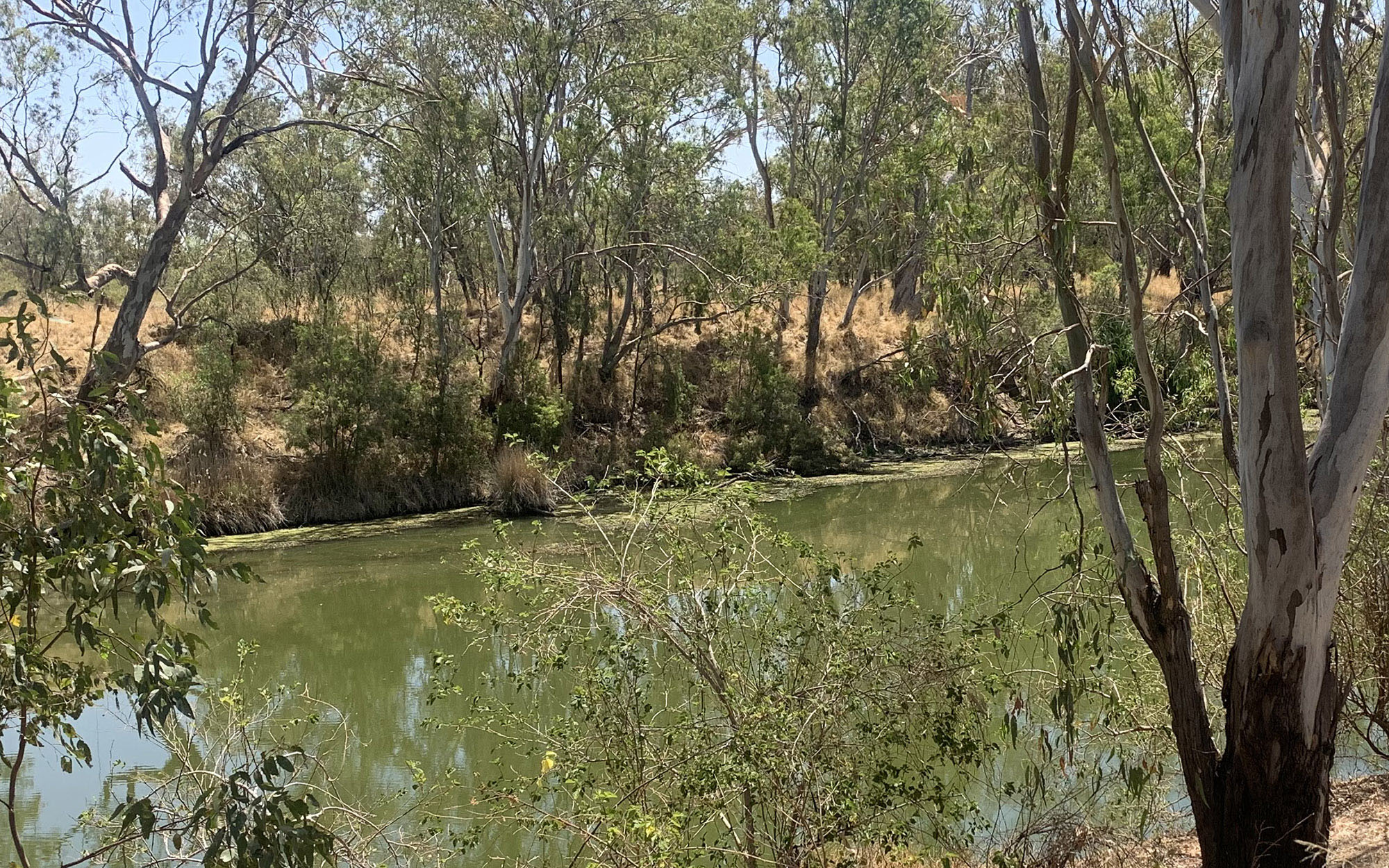
Watch the webinar
Wednesday, 16 August 2023. This month's update is by the lead ecohydrologist on the program for environmental water outcomes, monitoring and research.
Questions and answers
The following are questions by topic asked from the registration and during the Water Engagement Roundup webinar.
Water quality
Why is the Barwon River water quality so poor upstream of Walgett that dead bony bream were floating downstream to Walgett last week? Looking at the WaterInsights data 'Barwon Darling Unregulated River the gauges say the dissolved oxygen levels on the Barwon River at Walgett are "–". Does this mean they have been zero for long time or are they malfunctioning please?
A. The dissolved oxygen infrastructure at the Dangar Bridge site was buried in sediment by the last high flow event. To date the water level has been too deep to clear the sediment. Dissolved oxygen results at Dangar Bridge from hand held WQ meters has been above 9 mg/L for June, July and August. Readings above 4 mg/L are considered safe for fish health. Continuous dissolved oxygen results upstream at Collarenebri and downstream at Geera are also above 4 mg/L. Bony Herring are a boom and bust species which thrived during recent flooding. They susceptible to environmental stresses like cold water temperatures
Visit Barwon Darling WaterInsights for more information.
Water Quality Objectives are still being finalised by the department. How are these progressing and will they underpin monitoring programs? Manly Hydraulics Laboratory (MHL) are working to streamline monitoring, reduced duplication and improved sharing of data through the ‘NSW Monitoring and Modelling Hub’ whose purpose is ‘a knowledge network led by a state-wide representative Working Group with agreed processes established to coordinate and aid information sharing across government agencies and state-owned corporations in relation to water modelling and monitoring’. How is this work being utilised? Are you in discussion with MHL to avoid duplication (or divergent approaches)?
A. The coastal water quality objectives are currently being finalised by department's Environment and Heritage Group (EHG). The aim is to have these out for public exhibition by October. Ultimately, numerical criteria will be produced which will allow monitoring data to be assessed to measure the progress to achieving the objectives. Further detail is below:
EHG are currently adding layers to their coastal mapping. Also additional water quality data for reference sites has become available since the numerical criteria were calculated. This requires recalculating the numerical criteria for the three scales (catchment, IBRA bio-region, state) which is a significant body of work. The timeline for public exhibition is mid October 2023. This will showcase a:
- spatial viewer displaying (a) coastal catchment boundaries with their assigned WQO, and (b) the community values and uses spatial layer
- draft pdf document that showcases a map of each catchment and its WQOs
- draft of the methods used to derive the WQO, numerical criteria and update the coastal catchment boundaries. The intention is that the new numerical criteria will be published after the WQO have gone to Public Exhibition. This is expected to be around April 2024.
How does this work relate to other department programs such as Coastal Management Programs, the Risk-based framework, Water Quality Objectives.
A. Programs such as the water quality objectives and the risk based framework are designed to capture community expectations and provide guidance for councils and managers to improve water quality. These are often related to land management that may impact watercourses. The EOM provides feedback on water management plans. Both are intended to improve environmental outcomes.
Data and monitoring
What do water users and community stakeholders see to be more transparent when it comes to publishing data on outcomes?
A. The EOMRP is a key way that water users and community stakeholders can see published outcomes. Water Quality data and reports are also published. Spatial data is published on the SEED Portal.
Could you please brief us on the status of ecological monitoring as required under the Water Sharing Plans and what would be required to develop long term trends to understand the ecological condition of a water source prior to making any physical changes to a system. I am particularly interested in the Hunter Unregulated.
A. The subject of the talk today. See EOMRP. Department of Planning and Environment – Water has costed a full WSP MER program that includes low flow and cease to pump MER.
Is there a plan to expand the data gathering process to new sites? Will the data be made available to all interested parties under your transparency commitment? Is historical data available to interested parties?
See the following pages for answers.
Is the eDNA data / BRUV observations available to other agencies or to Custodians / Traditional Owners / public?
A. All data will be publicly available under SEED and in BioNet.
With the DNA monitoring project ... does this give any indication of how far upstream any species detected may be inhabiting?
A. We can only tell if DNA is present in the river at the point where we collect samples but by taking samples at strategic locations we can draw conclusions about the presence or absence of species.
Do you have any examples of data on monitoring and evaluating ecosystem services?
A. Yes if ecosystem services include providing nutrients and carbon into the systems (EOMRP Ecosystem processes Theme). Also DPE Environment and Heritage also monitor water birds and floodplain frogs and the Department of Primary Industries - Fisheries monitor fish populations including economically important species. The EOMRP works with both the department's EHG and DPI Fisheries.
Could you please explain the need to have sound ecological monitoring data in place prior to changing the way floe regime of a water source. What time span >is it the 8 yrs of data mentioned in your presentation?
A. The water sharing plans are remade every 10 years. At year 8 they are evaluated by the Natural resources Commission (NRC). The first water sharing plans were made in 2004 and some have been remade. Currently Surface Water Science is providing data and advice to Water Planning on any rules in water sharing plans that are being reviewed. We are also providing data and evaluation reports to assist the NRC in their evaluations. The EOMRP is only 2 years old but we use all available data and information.
Can you provide an example where outcomes of ecological monitoring has resulted in changes to PEW rules in a WSP?
A. The Bega River Area water sharing plan was recently remade and included some rule changes and alterations as a result of ecological monitoring, as well as other data collection and modelling information collected and received.
Has there ever been a risk assessment done to identify the cost of potential ecological damage due to not financially resourcing the ecological monitoring as outlined in the water sharing plans?
A. Not to my knowledge but I think that this is a good idea.
Probably a little off topic but, are there any projects in the pipeline to address riparian restoration/rehabilitation within privately owned aquatic waterfront properties in NSW?
A. Yes we work with LLS to prioritise funding for riparian restoration projects using the River styles database.
How will snowy hydro manage downstream flows differently compared to the flooding last year. will their releases be higher considering the storage at top of the system?
A. Each year the Snowy River receives an environmental water allocation based on the previous years inflows under the Snowy Water Licence. The maximum allocation delivered by Snowy hydro is 212GL.
EHG develops an annual delivery plan, with guidance from the Snowy Advisory Committee and experts, with the objective of restoring the Snowy to a smaller but healthy river. To do this we use a ‘natural flow scaling approach’. As the volume of water available for environmental flows in the Snowy River is approximately equivalent to annual natural flows in the unregulated Thredbo River. By using the natural flow scaling approach we can deliver a flow regime that will mobilised and redistributed channel sediment and improve the ecological condition of the Snowy. For more information visit Snowy and Montane rivers.
Environmental water
What ‘environmental’ water do you monitor? PEW, HEW, only the state owned water, or CWEH? Or all of it
A. We monitor all water that is in the river. Flows are identified as NSW Planned Environmental Water (PEW), NSW Held Environmental Water (HEW) or Commonwealth Environmental Water (CEWO) at the point of release.
When you say "environmental water" do you mean, the water protected under the Water Sharing Plans? So things like the Gwydir minimum flow rule and unregulated river cease to pumps?
A. Yes.
Water sharing plans
Implementation
Did the Water Sharing Plan Implementation Team that was set up following the 2020 ICAC report into water management deliver any recommendations for improved monitoring of environmental conditions in unregulated rivers?
Is there a program to monitor the environmental conditions in unregulated rivers?
Will the department implement the MER recommendations of the NRC's review of the Castlereagh Unregulated WSP in developing the replacement WSP?
Did the Water Sharing Plan Implementation Team that was set up following the 2020 ICAC report into water management deliver any recommendations for improved monitoring of environmental conditions in unregulated rivers?
A: The Water Planning Implementation team was set up following the 2020 ICAC report into water management. As described in the department's response to the S43A review of the Castlereagh Unregulated WSP, the team is currently developing an updated WSP Evaluation Framework and Program. The implementation of any MER program is dependent on having a defined, long term budget. The ability to implement aspects of MER across the state is limited by resources. The program includes a MER prioritisation tool to help guide MER effort across 58 water sharing plans. It also includes a transferability study to help see where MER activities undertaken in one WSP area can inform water management decisions in other similar systems. The department is currently drafting and testing methods to evaluate social, economic and environmental outcomes of plans. These draft methods have also been provided to the Natural Resource Commission for review and feedback.
Are the risk assessment reports publicly available during the decision-making process for water sharing plans? There used to be regular River Health reports.
A. Some are available and we are hoping to publish all of them.
Water science
How does the socio-economic consideration fit with the priority of WMA to prioritise river health?
A. The Act requires the department to "have regard" to the principles for water sharing, in the order they appear in the Act. Most changes to water sharing plans have regard for the principles. Recent changes to the Barwon Darling WSP have increased the volume of water available for the environment, including an increase in the volume of water reaching Menindee Lakes. A review panel is currently reviewing targets in the northern basin WSPs and the Barwon Darling to improve river connectivity.
Will your presentation get beyond what is on your website. I thought the idea was to provide detailed information on what implemented programs were achieving, if anything, and where they are not working. I can read and have read what is on your website. I don't need you to tell me.
A. Surface Water Science is very happy to provide regular updates. Also there are reports and links to published papers on the website.
A common concern raised by scientists that aren't vegetation ecologists is that they tend to only see mature red gum and coolabah trees, and very few established 'juveniles'. Can you comment on this?
A. We are looking at current and future population viability. Read the Native Vegetation Theme (PDF, 3945.21 KB) for some outcomes to date.
Good that you do some work in response to droughts, floods and, equally important, ordinary weather and flow conditions. Is much of your work also timed to provide assessment of the components of river health for the Natural Resource Commission reviews of water sharing plans?
A. The EOMRP is a response to recommendations for improved monitoring of WSPs by the NRC.
What is the current risk of ongoing fish kills in the Darling-Barka and what advice is the science team giving to water managers / regulators to reduce that risk?
A. As Spring progresses and we move into Summer, the chance of another mass fish death event is likely. There is still a large mass of fish trapped in the Weir 32 weir pool i.e. the stretch of the Darling River between Main Weir and Weir 32. Fish are unable to move upstream as there are no fish passages at the upper end of the Lakes. To support the health of these fish, water is being released from Lake Pamamaroo and this flow of water provides dissolved oxygen for the fish and is currently at a rate that mitigates against algal bloom formation. This strategy aims to find a balance between keeping the fish alive and maintaining water in the upper Lakes as a drought reserve. However, the fish may die irrespective of this strategy as they compete for limited resources and the temperature rises. There will also come a time when no further water can be released from the upper Lakes. Stopping the flows from these Lakes will likely lead to low/no oxygen conditions in the river and, hence, fish deaths.
The Science Team is collating the latest water quality information and this is used as part of the evidence base when decisions are made to change water releases from the Lakes. This water quality information is summarised and published in fact sheets.
What do you think an ideal (natural) flow regime is and does have periods of no flow/low flow? How do you compare current flows against this Ideal regime?
A: The department's Water group uses hydrological data to categorise and quantify flows. We also model natural or 'no development' scenarios to compare to current flows. Read the reports on the EOMR website.
Newly purchased national parks
How are the newly purchased national parks that have significant wetlands being incorporated into consideration for environmental water?
Are there any initiatives in place to develop water management plans for these parks so that the wetlands remain healthy despite the long term forecast of reduced water availability?
A. NSW Environmental Water delivery is guided by Long Term Water Plans developed for each valley in the MDB. We are also developing them for the Hunter and Snowy/montane where we also hold environmental water. These plans identify ecological assets and their water requirements.
Key wetlands (e.g. Ramsar, nationally important) and waterways are identified in the LTWPs. Annual watering plans are developed with the aim of providing these assets with an appropriate watering regime to maintain or improve them.
When key assets are located on park, we work closely with NPWS. As members of our Environmental Water Advisory Groups, they provide advice as to the status of key assets and assist with monitoring the outcomes from water delivery.
While not all Plans of Management have been developed where environmental water is delivered on Park, Yanga National Park provides a good example of how environmental water has been included within management plans
What changes (if any) are being made in water management along the Barwon-Darling river system to mitigate red alert for blue-green algae issued for the Darling-Baaka from Menindee and along Talyawalka Creek?
A. Through the Northern Basin Connectivity project, the department is progressing implementation of connectivity improvements identified in the Western Regional Water Strategy. Key actions focus on progressing analysis to inform potential changes to water sharing plan flow targets to improve water flows across the connected catchments of the northern NSW Basin and into the Barwon-Darling and Menindee Lakes for the following outcomes:
- Protecting the ‘first flush’ of water after extended dry periods to protect critical human and environmental needs and support recovery post drought
- Suppressing algal blooms by providing a seasonal flow to ‘flush’ the system and minimise conditions that contribute to algal growth
These reforms will help keep more water in the river at important times to replenish town weir pools and
The Minister has established a Connectivity Expert Panel to review the department’s analyses and provide independent expert advice on potential for these updated flow targets to meet critical environmental and human needs. The panel will also review the triggers that allow floodplain harvesting in the Northern Valleys.
This work builds on the range of connectivity reforms of the NSW Government over recent years including the protection of low flows in the Barwon-Darling, regulating floodplain harvesting, and progressing work on removing unapproved flood works in high priority areas to allow water to flow more easily across the landscape.
Will red alerts trigger continued action upstream at such times?
A. The purpose of the algal suppression targets is to provide a seasonal flow to ‘flush’ the system to replenish water in town weir pools and to minimise the conditions that contribute to algal growth. They would achieve this by restricting access by upstream low priority licences (floodplain harvesting, supplementary and B and C Class) if flows in the Barwon-Darling fall below identified flow targets during the spring-summer period.