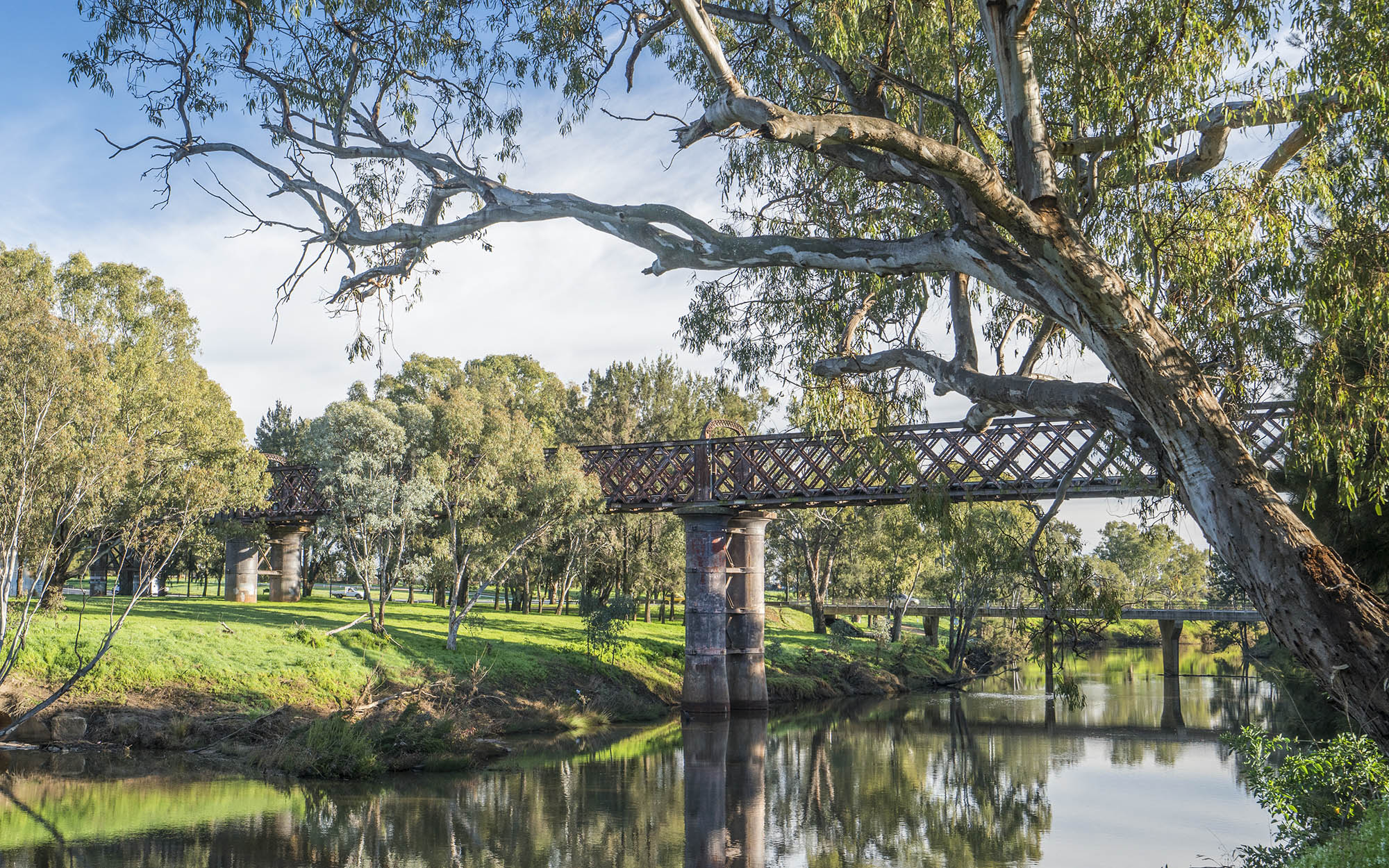
About the region
The Macquarie–Castlereagh region lies west of the Great Dividing Range in central NSW and comprises the catchments of the Macquarie and Castlereagh Rivers which cover an area of around 92,000 km2.
The water sharing plans that apply to the surface water and groundwater resources of the Macquarie–Castlereagh region are listed below.
The region is the traditional lands of the Gomeroi/Kamilaroi, Ngemba, Ngiyampaa, Wailwan and Wiradjuri Nations.
Castlereagh Unregulated River Water Sources 2024
Status: In force
Commencement date: July 2024
Cease date: June 2034
| Maps | Supporting documentation | Prior water sharing plan status |
|---|---|---|
Macquarie-Bogan Unregulated Rivers Water Sources 2012
Status: In force (with two year extension)
Commencement date: October 2012
Cease date: June 2025
Read: Macquarie-Bogan Unregulated Rivers Water Sources 2012
This plan has been amended since it commenced. See the NSW Legislation site for details.
| Maps | Supporting documentation | Prior water sharing plan status |
|---|---|---|
| N/A |
Macquarie-Castlereagh Groundwater Sources 2020
Status: In force
Commencement date: July 2020
Cease date: June 2030
Read: Macquarie-Castlereagh Groundwater Sources 2020
This plan has been amended since it commenced. See the NSW Legislation site for details.
| Maps | Supporting documentation | Prior water sharing plan status |
|---|---|---|
|
Macquarie-Cudgegong Regulated Rivers Water Source 2016
Status: In force
Commencement date: July 2016
Cease date: June 2026
Read: Macquarie-Cudgegong Regulated Rivers Water Source 2016
This plan has been amended since it commenced. See the NSW Legislation site for details.
| Maps | Supporting documentation | Prior water sharing plan status |
|---|---|---|
| N/A | N/A |
NSW Great Artesian Basin Groundwater Sources 2020
Status: In force
Commencement date: July 2020
Cease date: June 2030
Read: NSW Great Artesian Basin Groundwater Sources 2020
This plan has been amended since it commenced. See the NSW Legislation site for details
| Maps | Supporting documentation | Prior water sharing plan status |
|---|---|---|
NSW Great Artesian Basin Shallow Groundwater Sources 2020
Status: In force
Commencement date: July 2020
Cease date: June 2030
Read: NSW Great Artesian Basin Shallow Groundwater Sources 2020
This plan has been amended since it commenced. See the NSW Legislation site for details
| Maps | Supporting documentation | Prior water sharing plan status |
|---|---|---|
NSW Murray–Darling Basin Fractured Rock Groundwater Sources 2020
Status: In force
Commencement date: July 2020
Cease date: June 2030
Read: NSW Murray–Darling Basin Fractured Rock Groundwater Sources 2020
This plan has been amended since it commenced. See the NSW legislation site for details.
| Maps | Supporting documentation | Prior water sharing plan status |
|---|---|---|
NSW Murray–Darling Basin Porous Rock Groundwater Sources 2020
Status: In force
Commencement date: July 2020
Cease date: June 2030
Read: NSW Murray–Darling Basin Porous Rock Groundwater Sources 2020
This plan has been amended since it commenced. See the NSW legislation site for details.
| Maps | Supporting documentation | Prior water sharing plan status |
|---|---|---|