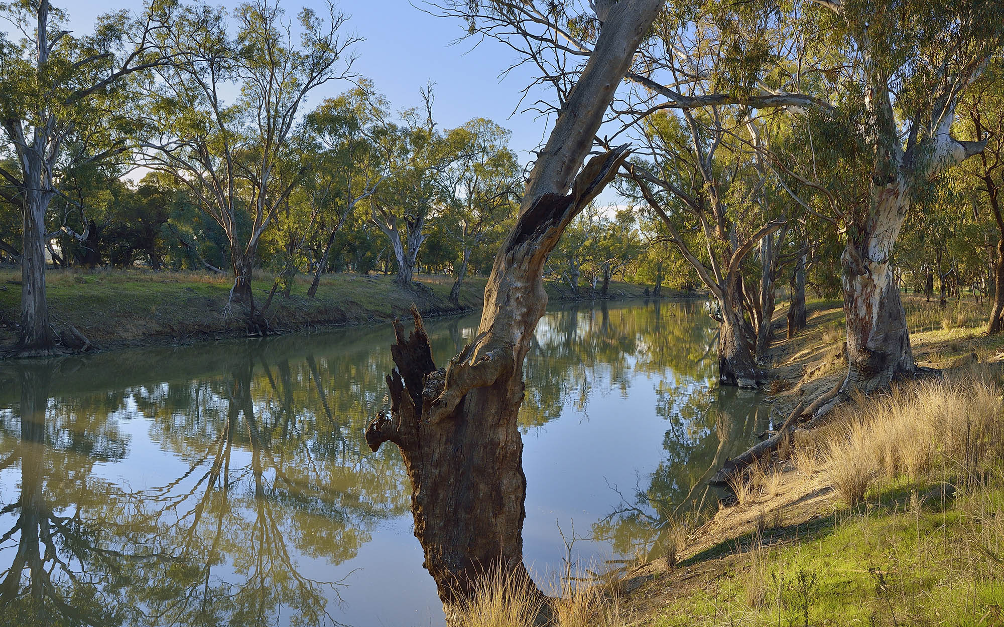
About the region
The Murrumbidgee region is bordered by the Great Dividing Range to the east, the Lachlan catchment to the north and the Murray catchment to the south. The region covers over 84,000 km2.
The region is the traditional lands of the Barapa Barapa, Muthi Muthi, Nari Nari, Ngunnawal, Nyeri Nyeri, Wadi Wadi, Wolgalu, Wemba Wemba, Weki Weki, and Wiradjuri Nations.
Murrumbidgee Alluvial Groundwater Sources 2020
Status: In force
Commencement date: July 2020
Cease date: June 2030
Read: Murrumbidgee Alluvial Groundwater Sources 2020
This plan has been amended since it commenced. See the NSW legislation site for details.
| Maps | Supporting documentation | Prior water sharing plan status |
|---|---|---|
|
Murrumbidgee Regulated River Water Source 2016
Status: In force
Commencement date: July 2016
Cease date: June 2026
Read: Murrumbidgee Regulated River Water Source 2016
This plan has been amended since it commenced. See the NSW Legislation site for details.
Murrumbidgee Unregulated River Water Sources 2012
Status: In force (with two year extension)
Commencement date: October 2012
Cease date: June 2025
Read: Murrumbidgee Unregulated River Water Sources 2012
This plan has been amended since it commenced. See the NSW Legislation site for details.
| Maps | Supporting documentation | Prior water sharing plan status |
|---|---|---|
|
NSW Murray–Darling Basin Fractured Rock Groundwater Sources 2020
Status: In force
Commencement date: July 2020
Cease date: June 2030
Read: NSW Murray–Darling Basin Fractured Rock Groundwater Sources 2020
This plan has been amended since it commenced. See the NSW Legislation site for details.
| Maps | Supporting documentation | Prior water sharing plan status |
|---|---|---|
NSW Murray–Darling Basin Porous Rock Groundwater Sources 2020
Status: In force
Commencement date: July 2020
Cease date: June 2030
Read: NSW Murray–Darling Basin Porous Rock Groundwater Sources 2020
This plan has been amended since it commenced. See the NSW legislation site for details.
| Maps | Supporting documentation | Prior water sharing plan status |
|---|---|---|