Mapping water resources in New South Wales
This section includes maps for viewing and/or downloading, as well as interactive mapping tools.
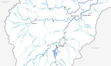
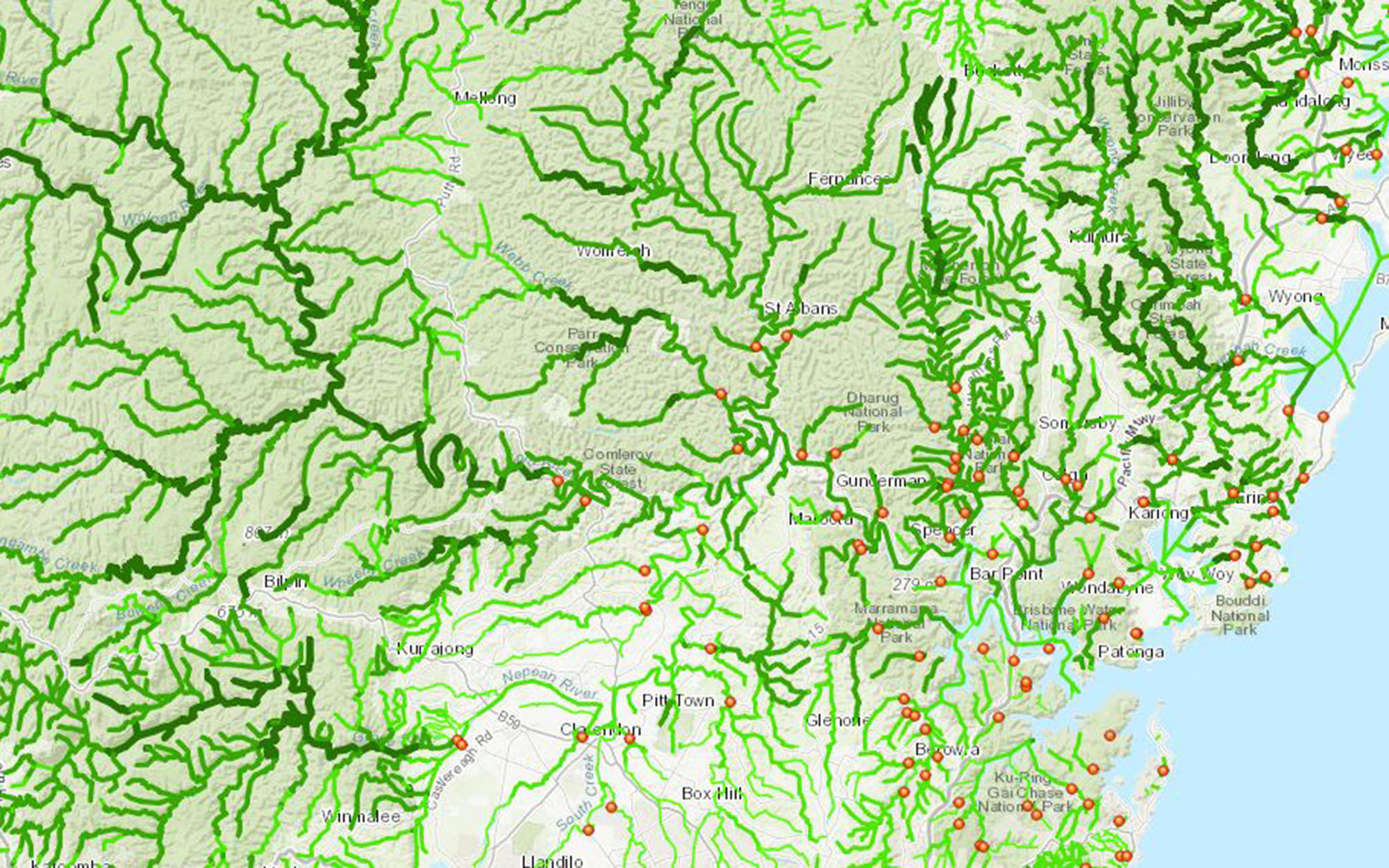
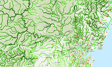
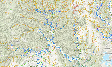
A series of maps showing water monitoring stations (gauging stations) across New South Wales.
Hydrogeological maps for different parts of NSW and the Murray-Darling Basin.
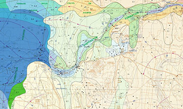
High Ecological Value Aquatic Ecosystems mapping for inland freshwater rivers and coastal rivers above the tidal limit.
NSW River Styles Database showing geomorphic river types, their behaviour, condition, recovery potential and geomorphic prioritisation.
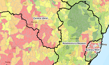
The NSW River Condition Index (RCI) is a long-term reporting tool for assessing river condition.