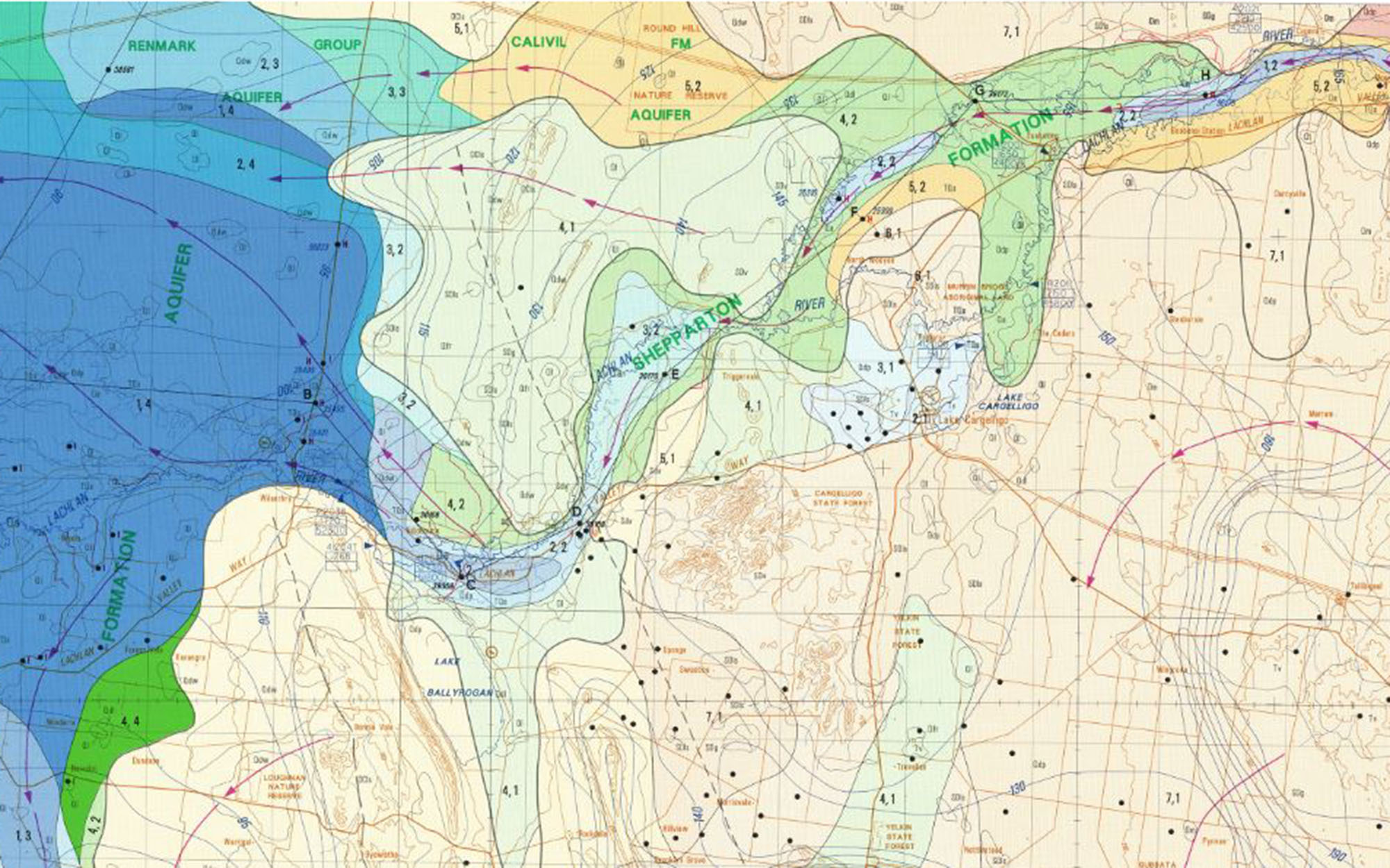
What are hydrogeological maps?
Hydrogeological maps show the subsurface geological material in which groundwater occurs.
They help hydrogeologists to understand the movement of groundwater in an area.
Hydrogeological maps
Murray Basin Series
The Murray Basin Hydrogeological Map Series (1992-1993) was a collaborative effort between the various water authorities of South Australia, Victoria and New South Wales. The maps in this series reside on the Geoscience Australia website. We have provided the relevant links below.
Alternatively, you can access the maps in this series through the Geoscience Australia Data and Publications Product Catalogue Type ‘Hydrogeological map of the Murray Basin Series 1:250 000’ in the search field.
- Adelaide-Barker, SA
- Ana Branch, NSW
- Ballarat, VIC
- Balranald, NSW/VIC
- Bendigo, VIC
- Booligal, NSW
- Burra/Chowilla/Olary, SA
- Cargelligo, NSW
- Deniliquin, NSW
- Hamilton, VIC
- Hay, NSW
- Horsham, VIC
- Ivanhoe, NSW
- Jerilderie, NSW
- Liverpool Plains, NSW
- Manara, NSW
- Menindee, NSW
- Mildura, VIC/NSW
- Naracoorte, SA
- Narrandera, NSW
- Ouyen, VIC
- Pinnaroo, SA
- Pooncarie, NSW
- Renmark, SA
- St Arnaud, VIC
- Swan Hill, VIC
- Wangaratta, VIC/NSW
Map series of NSW
The Hydrogeological Map Series of New South Wales (1986-1988) was compiled and published by the then Hydrogeological Unit of Department of Water Resources, New South Wales. The maps in this series are provided for viewing and/or download in the links below.
Groundwater vulnerability maps
Groundwater vulnerability maps show the vulnerability (or level of risk) of aquifers to contamination relating to physical characteristics of the location. These groundwater vulnerability maps are located on our Groundwater quality webpage.
