A clean and safe supply of groundwater is essential for the drinking water needs of country towns, major industries (especially agriculture) and to support groundwater dependent ecosystems. Groundwater quality decline and contamination creates a serious threat to human and animal health and the degradation of wetlands and rivers.
Groundwater quality and contamination
Both natural events and human activities can cause contamination of groundwater. This can make it unsafe to use. This video discusses why bore construction is important in minimising contamination risks.
Groundwater quality and contamination
This video discusses why bore construction is important in minimising contamination risks.
Learn about what we do to protect and maintain groundwater quality
Protecting groundwater quality
The Water Management Act 2000 helps to protect groundwater quality. All new or replacement groundwater works must consider the Objects and Principles of the Act. Where an activity has potential to degrade water sources, dependent ecosystems (including groundwater and wetlands), the department reserves the right to refuse licence or works approval. NSW State Significant Development project proposals (and other proposals under other planning processes) must address the policy documents a key one being, the Aquifer Interference Policy 2012 (PDF, 505.49 KB).
We can also direct modifications to the proposal to minimise cumulative impact.
At a national level, guidelines provide a framework to protect against groundwater contamination. These guidelines are part of the National Water Quality Management Strategy. The protection framework identifies specific beneficial uses for every major aquifer. It lists strategies for protecting those beneficial uses.
A particular risk to groundwater quality is contamination by leakage into the water table of pollutants from: industrial sites, fuel storage tanks, septic systems, land fill sites, garbage dumps, abattoirs, cattle feedlots and piggeries. The department’s Environment and Heritage group is the lead agency responsible for managing contaminated groundwater and developing groundwater clean-up strategies for contaminated sites. The department’s Water group assists by supplying technical information, establishing the beneficial use of aquifers and restricting the take of groundwater (if necessary).
Botany Bay area has many contaminated sites. The department has developed a management approach for the Botany Bay sand aquifers.
Per and poly-fluoroalkyl substances (PFAS) contaminants in NSW have become an emerging groundwater issue in recent years over concern to human health and the environment, particularly due to their persistence and bioaccumulation. PFAS have been used in many applications including firefighting foams, textile treatments for upholstery and clothing, paper products and non-stick cookware. Due to the many pathways for PFAS exposure a coordinating government response is needed to manage risk. NSW EPA is the lead agency who coordinate an inter-agency PFAS advisory group, including the department’s Water group. PFAS investigation sites across NSW, along with current knowledge and progress of remediation works, is available on the EPA’s website. Also, Australia’s Environment Ministers have endorsed the country’s first PFAS National Environmental Management Plan (NEMP). The PFAS NEMP provides governments with a consistent, practical, risk-based framework for the environmental regulation of PFAS-contaminated materials and sites.
Statewide groundwater quality acquisition program
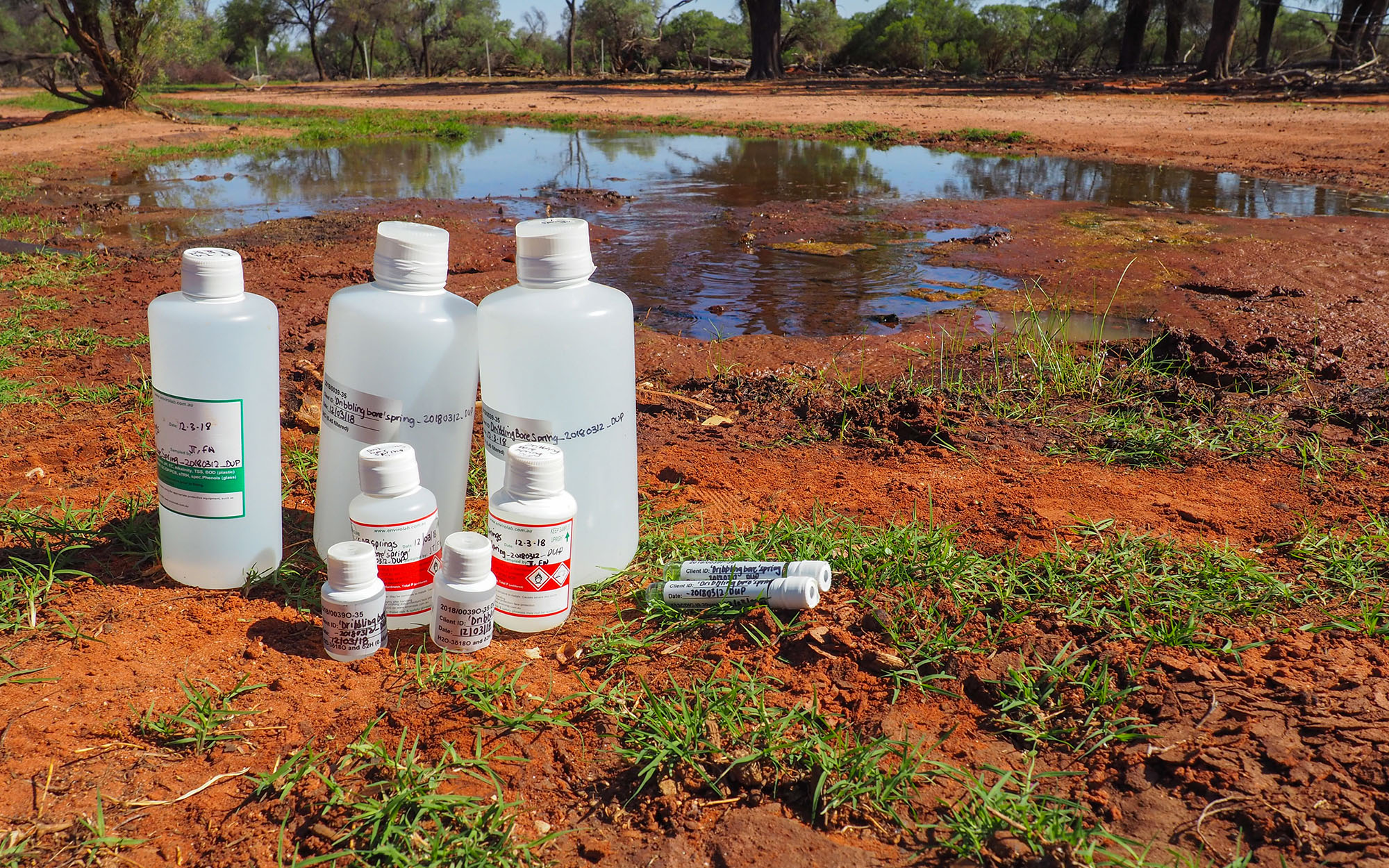
In mid-2021, the department completed the first NSW-wide sampling program of groundwater quality. This one year-study visited 588 bores at over 332 locations and collected 957 samples (see Figure 1). Our contractors travelled 100,000 kilometres and spent 10,000 hours in the field for this project. Contractors and department staff faced challenges like floods, COVID-19 restrictions and navigating a mouse plague, but despite this, 95 per cent of planned locations were visited, and samples were collected at those that were accessible (80 per cent).

Map of groundwater areas and locations planned to be visited, those actually visited and those where groundwater samples were taken.
A vast range of bores and locations were visited multiple times during the study. This ensured the impacts of different events (e.g. pumping season, flooding) at these locations were accounted for in the data.
The samples were analysed in laboratories for parameters such as major ions, metals, nutrients and a range of isotopes.
The results show water quality across the State’s major groundwater systems at a point in time. The department, prospective groundwater users, academics and industries will use the data. The data will increase knowledge of aquifer recharge rates, water ages, water pathways and will help to manage risks to groundwater quality.
The data is available through WaterNSW data service team at waterdataservices@waternsw.com.au.
Monitoring changes to groundwater quality
The department and WaterNSW have been monitoring groundwater quality for many years in some areas of NSW with high levels of groundwater extraction. Those high-yielding areas are in aquifers of the Namoi, Macquarie, Lachlan, Murrumbidgee and Murray valleys, all within the NSW part of the Murray-Darling Basin.
In 2013, the National Water Commission and the department funded a large-scale investigation into the chemical characteristics of groundwater. It improved our understanding of the possible impacts of high-volume groundwater pumping on groundwater quality.
In 2020, the department revisited the previous work and reconsidered the geochemistry characteristics and processes. To date, we have acquired data in three of those high yield areas, namely, the Lower Namoi, the Lower Murrumbidgee and the Lower Murray. We have analysed groundwater samples for information on groundwater pH (how acidic/alkaline water is), electrical conductivity (EC; a proxy for dissolved salts), and the different dissolved salt concentrations.
In the Lower Namoi Groundwater Source, data is available since 2003. The focus has been on 20 monitoring bores located north-east of Cryon. Groundwater salinity and quality changes in the Lower Namoi Groundwater Source can limit what the groundwater can be used for. This includes what crops can be grown or what livestock can be watered. We have seen some changes to groundwater pH, Sodium Absorption Ratio (SAR), and Total Hardness. If these changes continue to increase, this can increase the risk of damage to crops, soil structure, and irrigation infrastructure. The Lower Namoi Groundwater Source Summary Document (PDF, 225.81 KB) gives an overview of the preliminary analysis of water quality 2003 to 2019. The technical report Lower Namoi Groundwater Source preliminary analysis of the influence of groundwater extraction on water quality 2003 to 2019 (PDF, 25450.13 KB) has detailed information.
In the Lower Murray, data is available since 2003. The investigation area looks at the Lower Murray (Deep) Groundwater Source and focuses on 20 monitoring bores located in the Murray Irrigation District. We expect this assessment to be finalised in early 2022.
In the Lower Murrumbidgee, data is available since 2005. The focus has been on 25 monitoring bores located near the Murrumbidgee and Coleambally Irrigation Districts. We expect this assessment to be finalised in early 2022.
Groundwater vulnerability maps
A valuable tool used for groundwater quality protection is 'groundwater vulnerability mapping'. These maps show the vulnerability (or level of risk) of aquifers to contamination relating to physical characteristics of the location, such as the depth to the water table and soil type. The maps should be used by groundwater managers, planners, developers, and regulating agencies to make better informed judgements on where to locate potentially polluting activities so as to minimise the risk to groundwater.
Groundwater vulnerability maps are available for a number of catchments in NSW. These maps are accompanied by explanatory notes to guide their use and explain how the maps were created.
- Castlereagh vulnerability map (PDF, 1619.12 KB)
- Notes for the Castlereagh vulnerability map (PDF, 332.12 KB)
- Lachlan vulnerability map (PDF, 168.99 KB)
- Notes for the Lachlan vulnerability map (PDF, 509.88 KB)
- Macintyre vulnerability map (PDF, 2523.98 KB)
- Notes for the Macintyre vulnerability map (PDF, 340.85 KB)
- Macquarie vulnerability map (PDF, 158.18 KB)
- Notes for the Macquarie vulnerability map (PDF, 334.58 KB)