Introduction
A potential floodplain harvesting event on the Gwydir floodplain began in December 2020.
In summary it is estimated that a total of 54.2 GL of water was taken in this event, including 49.1 GL of licensed water (mostly under supplementary licences) taken through a meter. This means that an estimated 5.1 GL was taken that wasn’t metered, some of which may have been through floodplain harvesting as well as other forms of take as further described below.
On-farm storage volumes
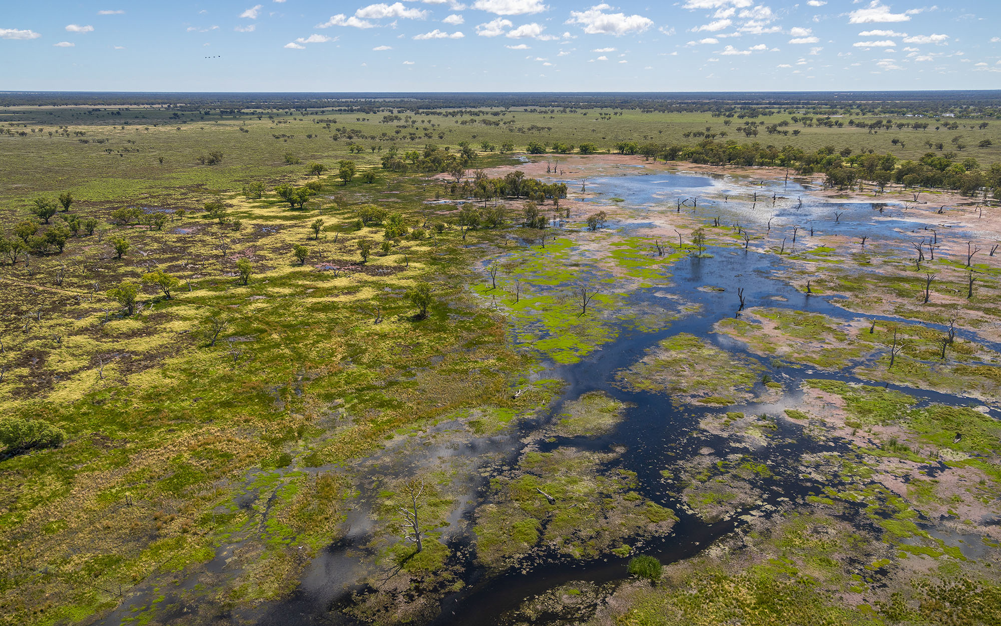
We used data from remote sensing (satellite imagery) and aerial survey, to estimate the volumes of water taken during the event. We based this on changes in the presence, and surface area, of water in large on-farm storages.
Satellite imagery from Sentinel and then Planet (higher resolution) was analysed to determine the change in storage volumes during and after permitted supplementary access. Storages contained water before the event. A total of 54.2 GL of water was stored between mid-December 2020 and mid-January 2021. The volume estimates derived from the two different imagery sources were comparable to within 10%. Table 1 presents the results of the assessment.
| Pre-event 13-Dec-20 | Mid-event 14-Dec-20 to 12-Jan-21 | Post-event 13-Jan to 27-Jan-21 | |
|---|---|---|---|
| Number of OFS with water | 156 | 242 | 178 |
| Number of dry OFS | 252 | 166 | 230 |
| Total volume (GL) | 36.1 | 90.3 | 61.5 |
| Total stored / use (GL) | - | 54.2 | -28.8 |
Supplementary water
Supplementary access was announced for the Gwydir Valley from the 17th December 2020 until the 7th January 2021. For more information on each supplementary flow announcement visit WaterNSW.
Table 2 below shows the volume of supplementary water take during permitted access. It also shows any other licensed water taken during the floodplain harvesting event. A total of 49.1 GL of metered licensed water was taken during the event. This volume is comparable to the volume of change estimated by the remote sensing method (54.2 GL). The difference is 5.1 GL, which is within the error margin of our methods. This could be unmetered floodplain harvesting and unregulated take, direct and on-farm rainfall run-off/tailwater capture, stock and domestic take, groundwater take or an artefact of uncertainty in the remote sensing method. Table 2 presents the metered licensed water take, including supplementary access, which ended mid-event (7th January 2021).
| Use type | Mid-event use 17-Dec-20 to 7-Jan-21 (GL) | Post-event use 8-Jan-21 to 27-Jan-21 (GL) | Total (GL) |
|---|---|---|---|
| Supplementary (consumptive) | 39.5 | 0.0 | 39.5 |
| Other licence extractions* | 9.3 | 0.3 | 9.6 |
| Total consumptive extractions | 48.8 | 0.3 | 49.1 |
| Held environmental water licence use | 1.7 | 5.1 | 6.8 |
*Provisional figures based on metering data extracted 18 March 2021. 17th December 2020 supplementary access commenced. 7th January 2021 supplementary access completed. Excludes Local water utility use, groundwater and unregulated use and extractions between Copeton Dam and Pallamallawa.