Why monitor connectivity?
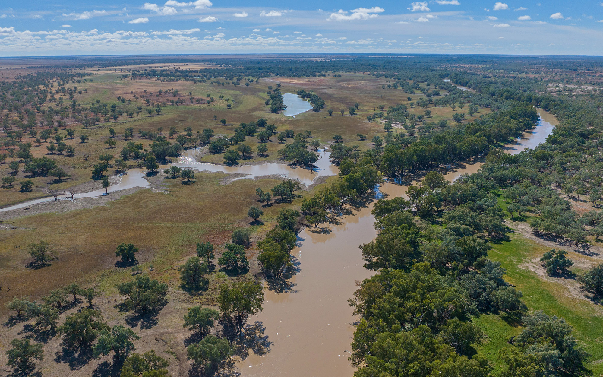
The connection between a river and the floodplains alongside it, is known as floodplain connectivity. This connection occurs when the water in a river rises over the bank and spills onto the surrounding landscape. These areas can also be inundated from excess rainfall runoff within the catchment.
The inundation of these areas is important to support healthy ecosystems. Connecting flows move nutrients and sediments and enable native fish and other organisms to disperse between habitats. The frequency, timing and duration of inundation events all impact the overall health of floodplain ecosystems.

We are using satellite imagery to map floodplain inundation in the Northern Murray Darling Basin. This work will help us to identify the effect of floodplain structures on flood pathways, validate environmental water requirements and link ecosystem health with inundation patterns.
Our projects include:
- Mapping and modelling floodplain inundation
- Validating overbank environmental water requirements
- Monitoring floodplain pool surface area and persistence through remote sensing
- Determining floodplain pool volumes using drone photogrammetry
2022-24 floodplain connectivity and inundation annual report
The 2022-24 floodplain connectivity and inundation annual report introduces the flood inundation mapping project that commenced during the first year of the Environmental Outcomes Monitoring and Research Program.
Download the report: Floodplain connectivity and inundation (PDF. 5.55MB)In 2022-24, the flood inundation mapping project has:
- Continued the mapping of floodplain inundation using remote sensing with over 3600 Sentinel images processed up until June 2024.
- Tracked the surface area and persistence of 373 key floodplain pools since 1987 using Landsat imagery
- Undertaken a trial to calculate floodplain pool volumes using drone imagery
- Trialled the use of hydraulic models to validate overbank environmental water requirements in the Namoi catchment.


